Our Klamath Basin Water Crisis
Upholding rural Americans' rights to grow food,
own property, and caretake our wildlife and natural resources.
Our Klamath Basin
Water Crisis
Upholding rural Americans' rights to grow food,
own property, and caretake our wildlife and natural resources.
|
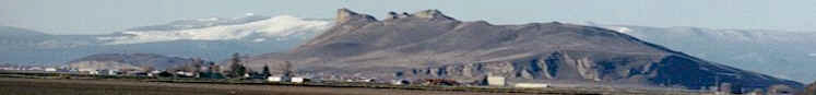
Lakes,
rivers, snow
Published April 28, 2004
Clear Lake - Clear Lake's surface elevation was
estimated Monday at 4,526.4 feet above sea level,
with storage at 133,480 acre-feet, up 7,270
acre-feet from a year ago. River
flow Link River 2004 2003 April 21 1,295 2,025 April 23 1,176 1,597 April 25 1,179 1,027 A Canal April 21 480 330 April 23 538 310 April 25 595 280 Klamath River at Keno
Dam April 21 1,104 2,175 April 23 1,179 1,859 April 25 956 1,581 Klamath River at Iron
Gate Dam April 21 1,711 2,630 April 23 1,703 2,537 April 25 1,695 2,385 The U.S. Bureau of
Reclamation's operations plan calls for minimum
flows of X,XXX cubic feet per second from Iron Gate
Dam on the Klamath River during the month of April.
|
Home
Page Updated: Thursday May 07, 2009 06:14 AM Pacific
Copyright © klamathbasincrisis.org, 2004, All Rights Reserved
