Siskiyou County Supervisor District 5,
Marcia Armstrong
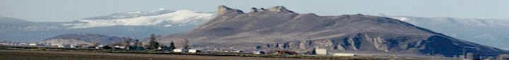
Column 12/2/05Scott Valley
groundwater
There has been growing pressure to better
understand the Scott River’s groundwater table and
how it is recharged. A few weeks ago, Mark Horney
and Bill Waggoner of the Natural Resource
Conservation Service (NRCS) Watershed Team presented
a modest proposal for a voluntary groundwater
monitoring program. The strategy protects individual
privacy, but would produce information of use to
landowners as their management tool. It is estimated
that such a study could be accomplished without
public funds for a minimal amount of money.
In his presentation, Horney indicated that there the
aquifer exists below soil deposits that can range
from a few feet to several hundred feet in depth.
Horney said that it is simplistic to think of the
aquifer as a ridge to ridge bathtub holding sediment
and water. The depth of bedrock – the rock layer
through which water cannot pass, can vary from a few
feet in Callahan to several hundred feet in the
lower valley. There are also various densities of
soil type. For instance, water can pass through
gravelly soil quickly, while clay layers are hard to
pass through. There may even be underground rock
ridges that serve as a barrier to water movement.
In the 1940s and 50s, Seymour Mack surveyed the
characteristics of the aquifer by monitoring 105
wells. He determined that there were 8-9 different
geologic formations in Scott Valley that have
contributed to the sedimentary mix in different
areas and the rate of recharge. There are nine
different drainages. To add more complexity, there
are also ancient riverbeds beneath the surface that
have filled with sediment.
Horney stated that several factors influence how
fast groundwater will move: (1) The type of soil
material through which it passes; (2) The gradient
or slope; (3) The porosity of the material (amount
of space between particles); and (4) The
permeability (connection of those spaces.)
According to Bill Waggoner, groundwater is
particularly important to Scott Valley. Nationally,
about 50% of domestic water supplies are from
groundwater. In the Scott, it is closer to 90%.
Summer accretion of groundwater is also important to
summer river flows. Monitoring a grid of about 30
wells on a purely voluntary basis on the Scott
Valley floor could produce useful baseline data to
answer questions for each local area such as: (1)
The relationship of groundwater storage to discharge
and recharge; (2) The evidence of multiple aquifer
strata or layers; (3) Seasonal variation in
groundwater levels; and (4) Long-term trends in
groundwater levels. The wells could be existing
irrigation wells that are not currently in
production (not-pumping for at least three days.)
Waggoner stated that it will take at least a decade
or two to capture a true picture of groundwater for
each area.
For more information, please contact the Scott River
Watershed Council at 468-2487. |