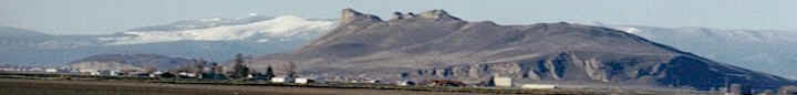
Following are some facts about the river,
which has been at the center of intense discussions for
the past two years. Some of the information comes from
the U.S. Bureau of Reclamation office in Klamath Falls
and from the Trinity River Restoration Project.
1 The Klamath River flows out of Lake Ewauna.
2 Above Lake Ewauna, the Williamson River and
its tributaries, including the Sprague River, deposit
water into Upper Klamath Lake.
3 The mile-long Link River con nects Upper
Klamath Lake with Lake Ewauna.
As it flows southwest, the Klamath River goes
through the Klamath Mountains and skirts the Siskiyou
Mountains on their southern side.
The Klamath River drains a watershed of 15,751
square miles. Four tributaries feed into the Klamath in
California. Those are:
4 The Shasta River some 10
miles north of Yreka.
5 The Scott River from the south in central
Siskiyou County.
6 The Salmon River. -
7 The Trinity River. The largest tributary
to the river, the Trinity, sends 52 percent of its water
to the Sacramento Valley for irrigation and electrical
power with the other 48 percent flowing into the Klamath
River.
8 The Klamath flows for 263 miles to its mouth
at the Pacific Ocean in California, about 20 miles south
of Crescent City.
*
The river drops 4,090 feet from Klamath Falls to its
entry into the ocean in southwestern Del Norte County.
The discharge rate at the river’s mouth averages around
17,000 cubic feet per second — ranging from a low of
1,340 cfs to a maximum of 378,000 cfs.
* Historically, the river’s name is derived
from “klamet,” a Native American word meaning
“swiftness.” Indians used the river as a water
route through the Cascade Range, with archaeological
evidence indicating the river valley has been inhabited
for more than 7,000 years. The Klamath is one of just
three rivers that cross the Cascades, the others being
the Columbia River and Pit River.
* Dam construction between 1908 and 1962 has
blocked the return of salmon to upstream habitat,
raising cultural issues for the Klamath Tribes, which
consider the species sacred. Salmon also carry spiritual
significance for the Yurok, Karuk and Hoopa tribes in
California.
* The Klamath was once prime habitat for
Chinook salmon, Coho salmon, steelhead trout and rainbow
trout. Coho are now listed as threatened under the U.S.
Endangered Species Act.
* The river’s recent history involves
PacifiCorp’s attempts to
relicense four dams for another 50 years.
The request to continue operating the Irongate, J.C.
Boyle, Copco 1 and Copco 2 dams is pending before the
Federal Energy Regulatory Committee.